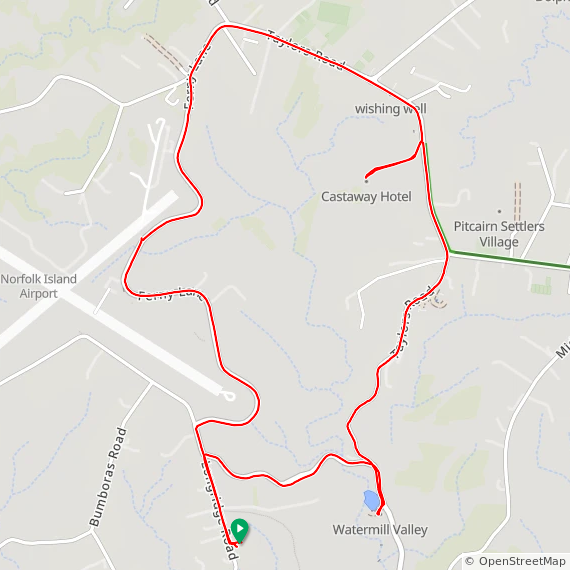
7.93 ㎞ / 29:43 / 136m / 18.0°C
Well here we are … Norfolk Island for a holiday for a week. Amusingly, there’s a mountain bike free for the riding available in the accommodation, so I’ll see if I can sneak in a ride every day to keep up the 2025 streak .. and explore brave new worlds etc
An interesting place, much of the island is flattish, up at around 150m altitude, but with big drops down to sea level. All very green, the eponymous pines everywhere, free range cows wander the roads – and have right of way. The speed limit is 50 ㎞/h everywhere except in town, where it drops to 40 ㎞/h, and the most common car is a very small hatchback or tiny Daihatsu truck. Oh, and everyone waves, drivers to each other, drivers to pedestrians, drivers to cyclists …
Dropped down the valley towards the World Heritage site, but the road seemed to keep on descending and I wasn’t in the mood for a climb back on a slightly too-small MTB with no working lockout on the front suspension so I turned to the north to climb back up and head for “town”. Quite a climb, I was well pleased that the Avanti Hammer has a working tripple, and crawled my way slowly up the hill. Burnt Pine is mostly one long set of shops along the road, then comes the airport corner, then back around the edge of the airfield, then back home. Cows, feral chickens aplenty, blackbirds, sparrows, a European Goldfinch, no indigenous birds to be seen except for a few flashes of stunning blue as a Sacred Kingfisher darts past
Few clouds, 16°C, Feels like 15°C, Humidity 59%, Wind 8m/s from WSW - by Klimat
Garmin / Strava / ridewithgps
