127.58 ㎞ / 6:28:44 / 992m / 21.0°C
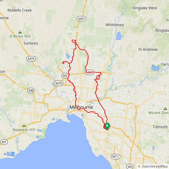
Generally following the Audax “Paths Subject to Flooding - 3peaks” route that starts and finishes in Ashburton. 128 ㎞ and three hills; Mt Cooper, Mt Ridley and Gellibrand Hill and almost all on bike paths and creek trails
It was a long day out with Evan, on bike paths – that he never rides – and lots of Saturday walkers & riders, so a bit busy at times. We even stumbled on a Mini car club meeting … on Mt Cooper of course … and stopped for a coffee and to walk around and look at cars from our youth
Somewhere around North Melbourne on the way back Evan realised he was running short on time so we parted company, I made the rest of the way down into the city, over one of the new shiny green (gotta paint it green, for enviro creds) bridges, then through the riverside throngs and finally home
Clear sky, 13°C, Feels like 12°C, Humidity 71%, Wind 1m/s from W - by Klimat
Garmin / Strava / ridewithgps
